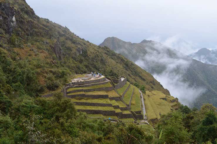
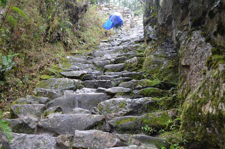
Camino Inca (the Spanish name of the Inca road system) in pre-Columbian South America was the most advanced and extensive transportation system. The routes and trails ran in Colombia, Ecuador, Peru, Bolivia, Chile and Argentina.
It was about 24,800 miles long or more than 30, 000 km! And now it is still in good condition after over 500 years of use.
Much of the system was the result of the Incas claiming exclusive right over numerous traditional routes, some of which had been paved centuries earlier mostly by the Wari Empire (culture that precede the Inca Empire).
The network was based on two north-south roads with numerous branches.
The most important Inca road was the Camino Real (Royal Road), as it is known in Spanish, with a length of 5,200 kilometres (3,200 mi). It began in Quito, Ecuador, passed through Cusco, and ended in what is now Tucumán, Argentina.
The true extent of the road network is not completely known, since the Spaniards, post conquest, either dug up the road completely in some areas, or allowed it to deteriorate and fall into ruin under iron-clad horses’ hooves, or the metal wheels of ox-carts.